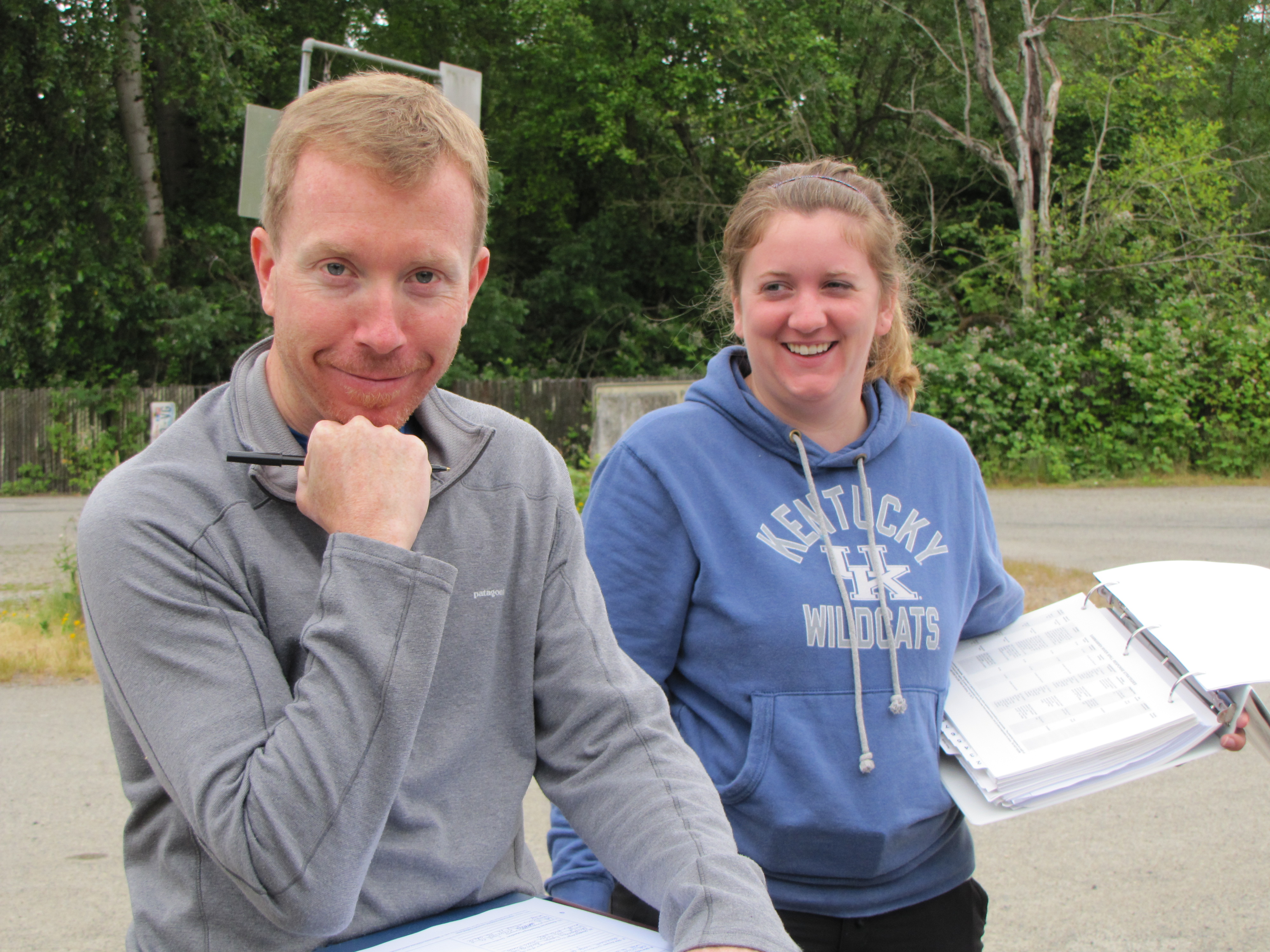
Back at it again, Liz and Jane take on Geographic Response Plans (GRPs) on day two of Hazardous Waste Operations and Emergency Response (HAZWOPER) on-the-job training with Laura and David, from Washington Department of Ecology’s Spill Response Team.

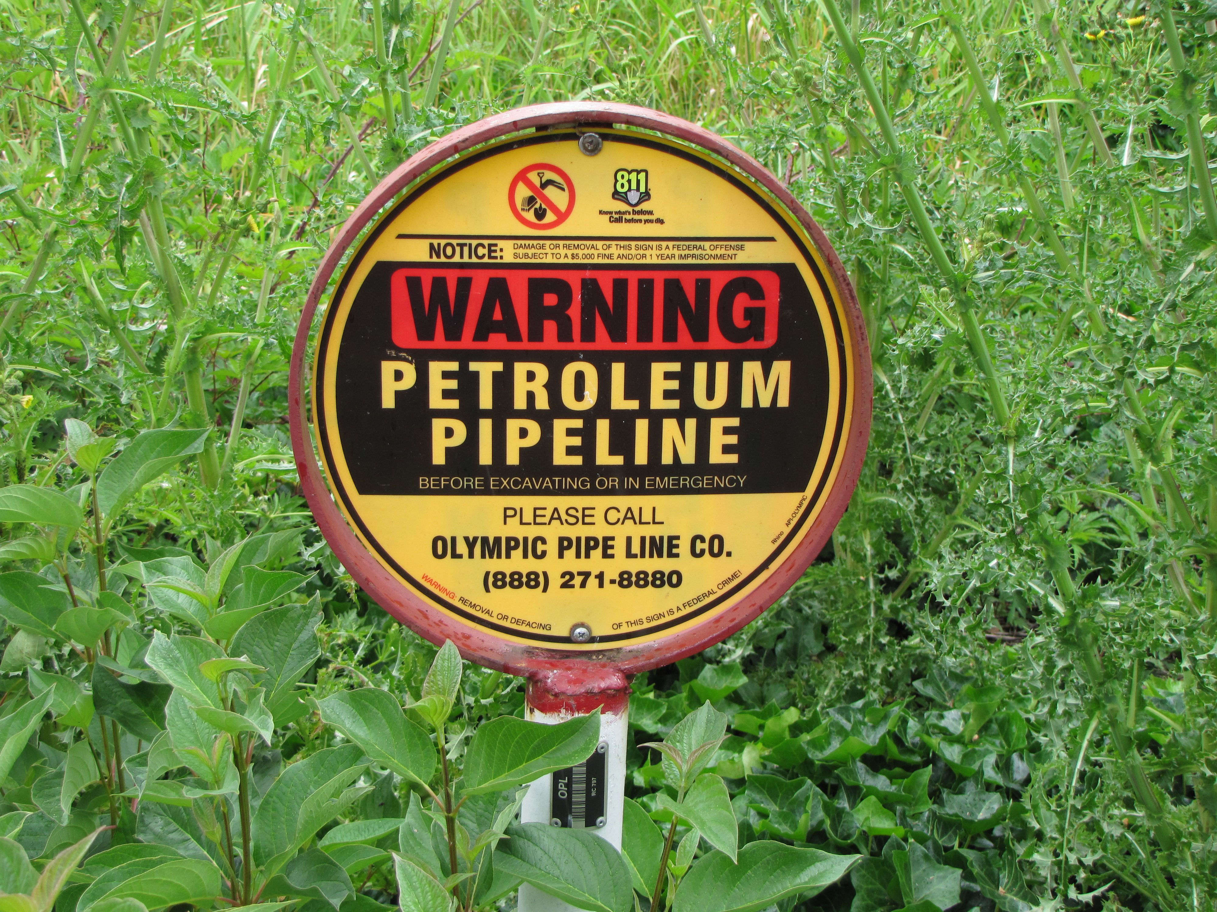
This time, we’re not heading out in the truck to investigate and incident/call/emergency, we’re laying the groundwork (paperwork, actually) in preparation for potential incident(s) involving waterways near the Olympic Pipeline. Owned by British Petroleum (BP), the Olympic Pipeline is the largest petroleum products pipeline in the Pacific Northwest which connects refineries in Skagit County to 23 terminals in Western Washington and Northern Oregon.
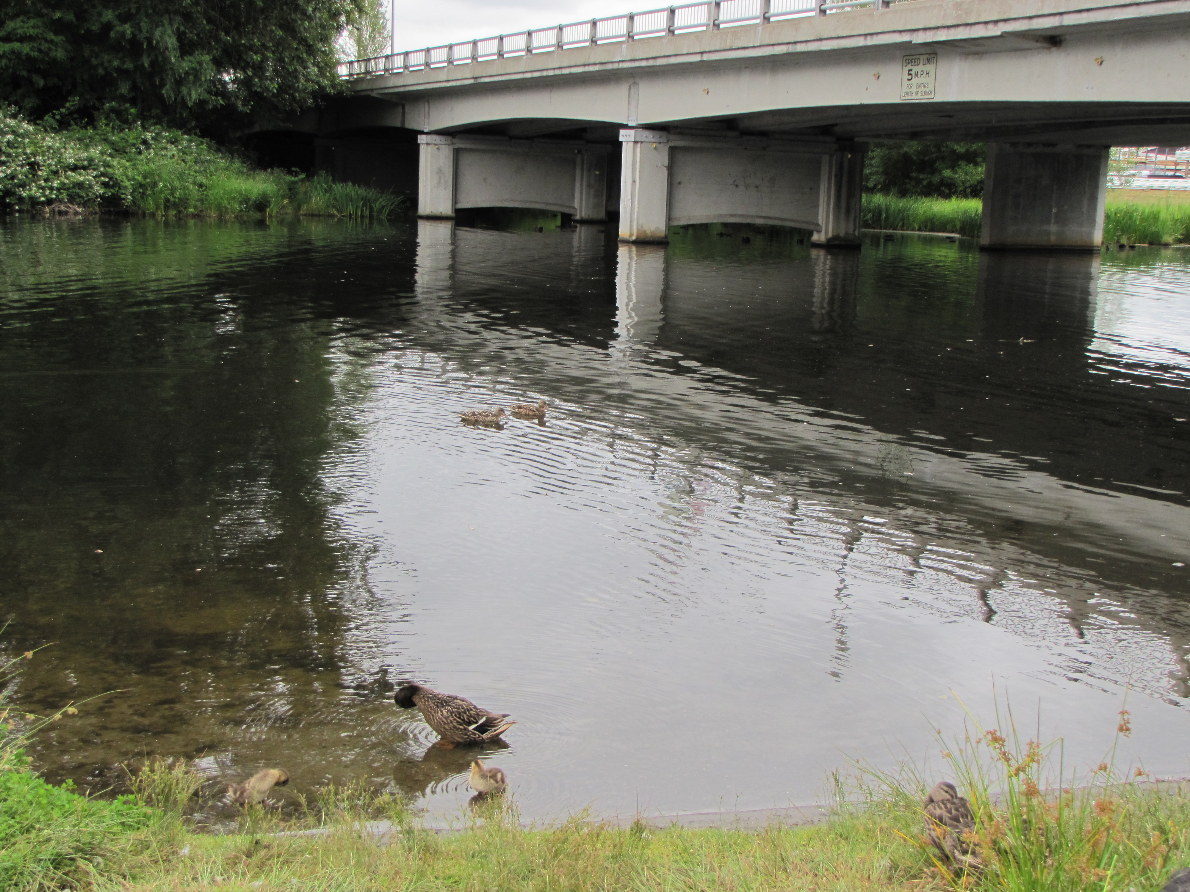
First stop: the Washington Department of Fish and Wildlife’s boat launch on the west end of the Sammamish River. Laura and David consult the current GRP – which natural resources are in the area? boat needed? staging area large enough for several vehicles and trailers? what speed is the river flowing? is boom requested – the floating oil absorbent pads used to direct and contain oil – adequate? are there access considerations? could private property nearby be affected? All of these considerations (and more!) are detailed at each site.
Like COASST beaches, no site is the same – some have steep banks covered in blackberries, some are known native steelhead habitat (Liz spots some dragonfly larvae under a rock here, at May Creek), some are under freeways, some in the middle of neighborhoods, surrounded by private land. At the end of the day we get to thinking about how COASSTers might be able to contribute to marine GRPs in the State’s effort to document beaches, access points, and natural resources along the coast and greater Puget Sound. Stay tuned!


